DP500
Oblique photogrammetry module
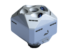
DP500 is Feima's first oblique module developed for DJI drone platform, with a total pixels of 126M. It uses Feima's self-developed medium format cameras and survey grade lenses. It can achieve 1:500 scale mapping without ground control points in various complex environments such as urban areas, plains and mountainous regions with significant elevation differences. DP500 offers more options for operations and creates more value for customers.

GCP-free Mapping

Mechanical global shutter

Real-time POS tagging

Centralized storage
Flight route planning
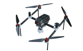
DP500 is developed by Feima Robotics based on market research and customer feedback, designed to be compatible with DJI drones. It can be mounted on the DJI M300 RTK or DJI M350 RTK, with parameter settings and flight path planning available through DJI Pilot. At the same time, it also can be controlled using Feima UAVManager and Feima Pilot.
DJI Pilot (PE)
The camera parameters of DP500 can be customized on DJI Pilot (PE), and the flight route can be planned for flight operations.
UAVManager Professional - PC Version
Feima Pilot
Double guarantee of imaging and accuracy

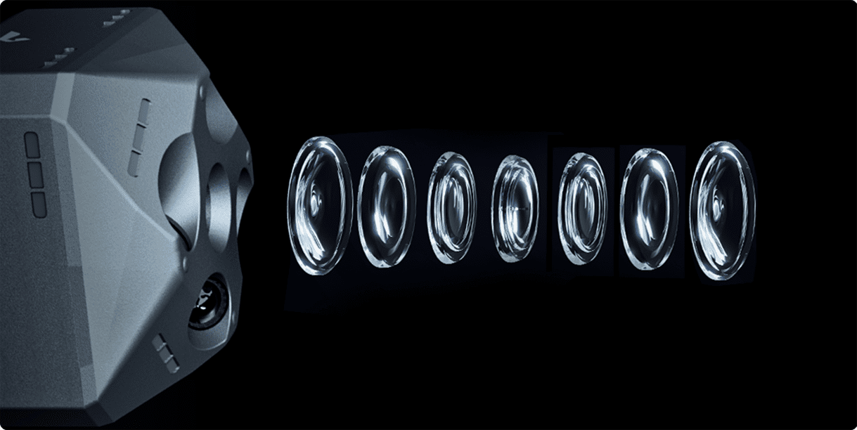

Self-developed core components
Customized surveying and mapping lenses
Mechanical global shutter
DP500 uses Feima's newly developed APS-C camera with a single camera resolution of 25.2M and a total resolution of 126M. Due to the slight optical errors of the survey-grade lens, high-quality images captured by the mechanical global shutter, precise Mark point information synchronized within submillisecond and automatic correction of platform eccentricity, DP500 can obtain high-precision surveying data effortlessly, enabling mapping without the need for ground control points.
More refined structural design
The mechanical global shutter effectively prevents the jelly effect caused by exposure delays. With a maximum shutter speed of up to 1/2000 second, it reduces image blur resulting from rapid drone movement, ensuring imaging quality.

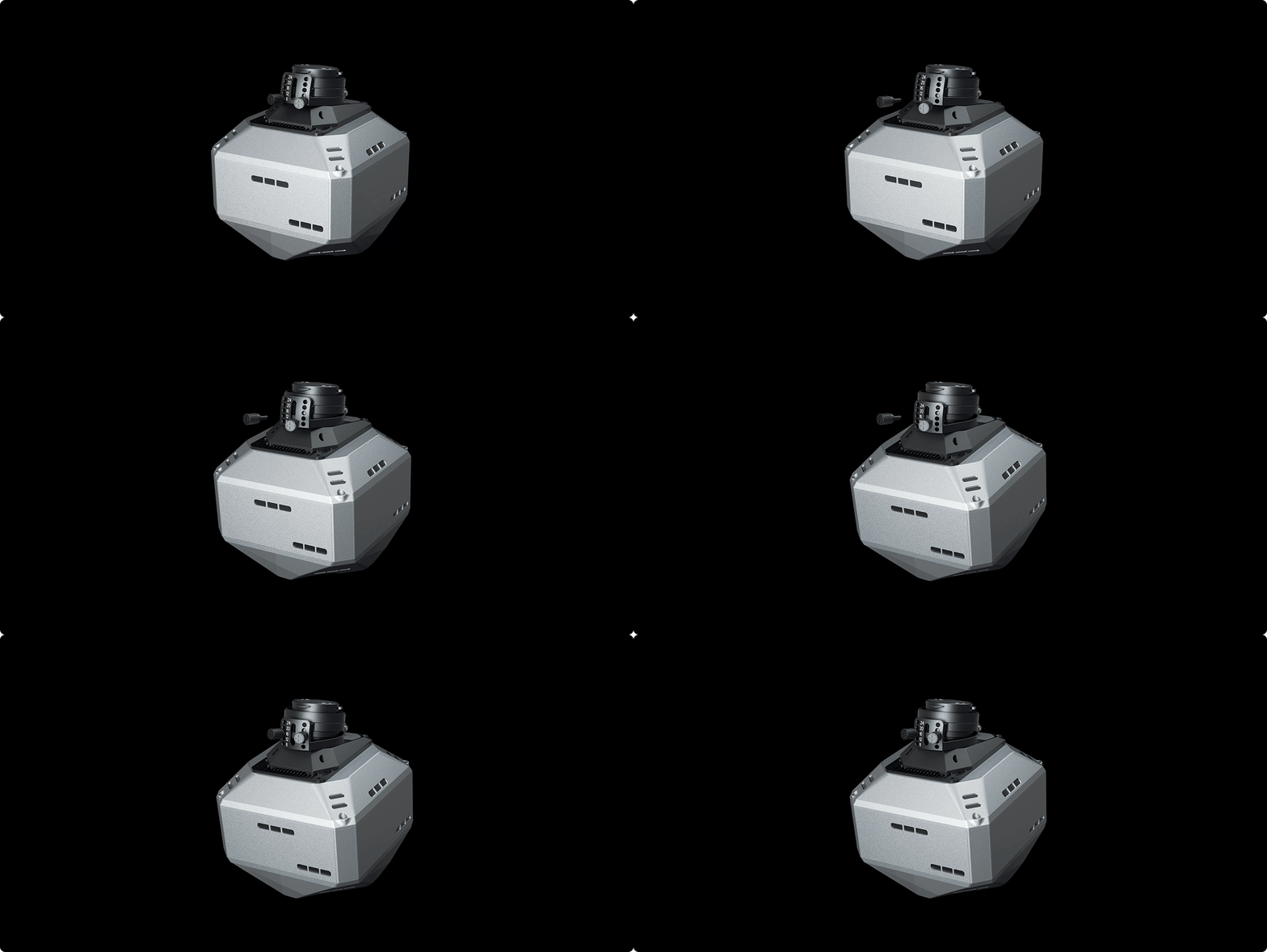
Real-time POS tagging
simplifies the post-processing steps
DP500 can record high-precision RTK information and automatically embed it into the acquired oblique images. During post-processing, there's no need for complex POS calculations, enabling straightforward and efficient mapping without ground control points.
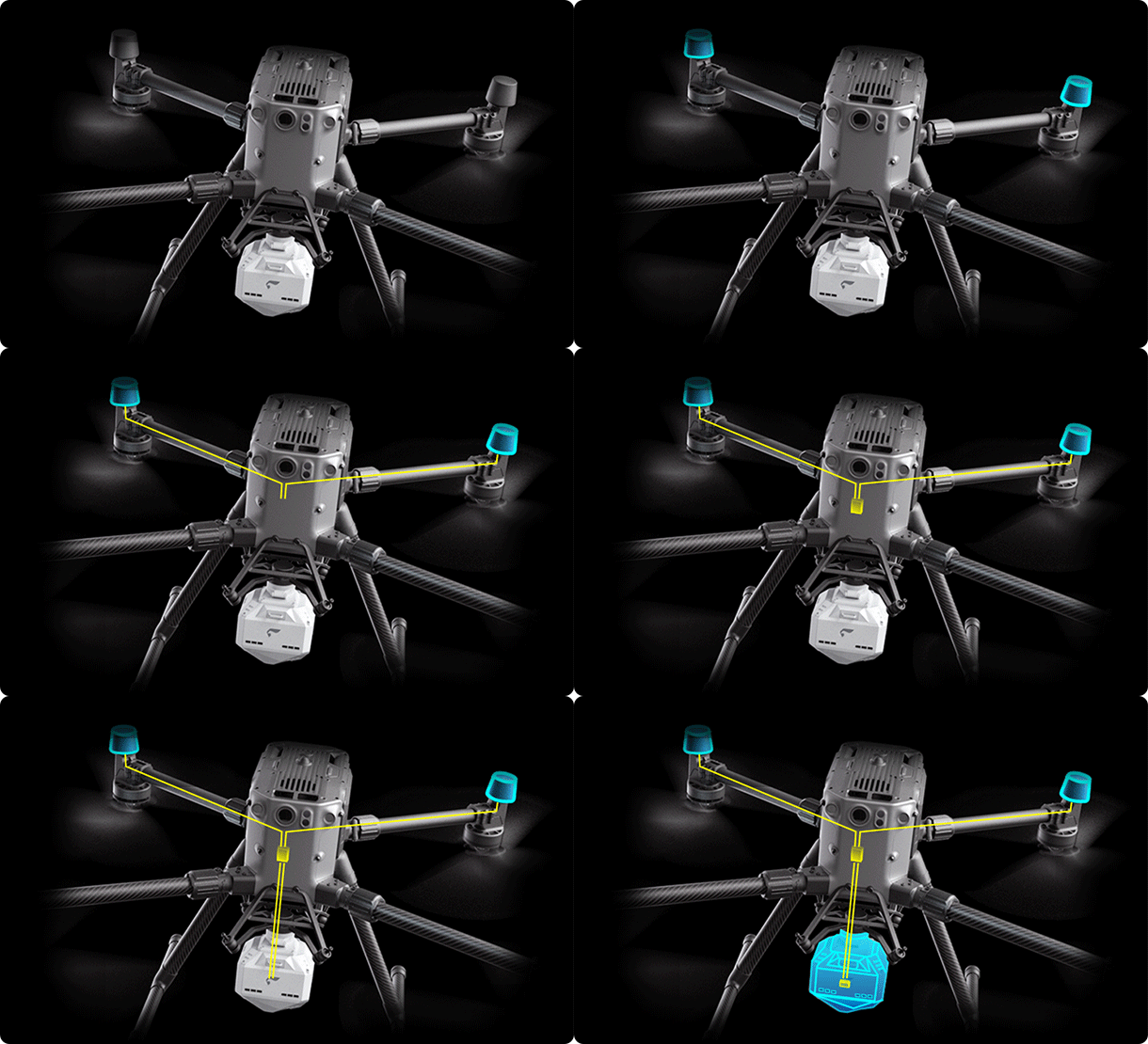

Large-capacity centralized storage
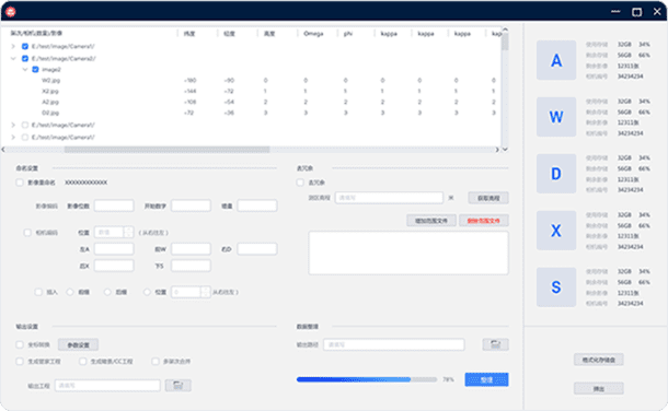
DP500 comes standard with a 640GB large-capacity centralized storage module to meet the demands of long-duration operations. Coupled with the ImageCopyTool in Feima UAVManager Professional, it achieves data transfer speeds of up to 300MB/s, significantly enhancing efficiency in both field operations and internal processing.

ImageCopyTool
Camera information viewing
Image redundancy reduction
Merge data from multiple sorties
One click data copy
Coordinate system customization modification
Generate engineering files for internal operations
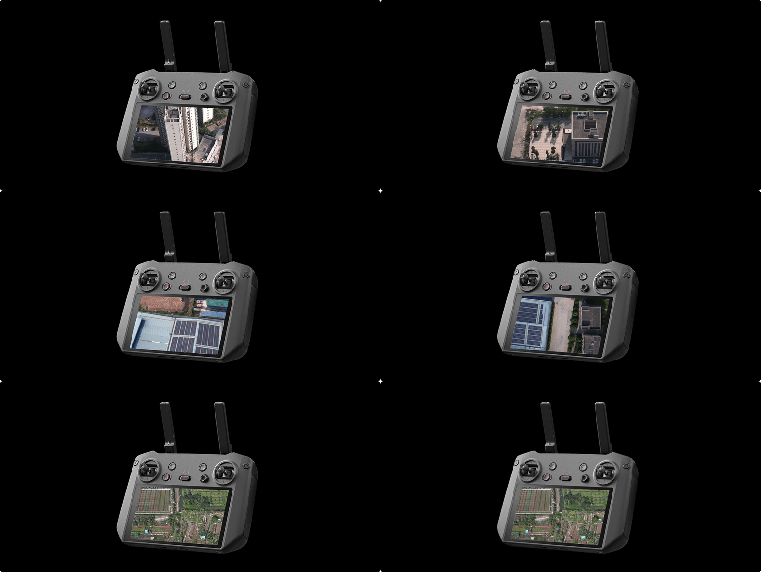
Real-time image transmission
DP500 supports real-time image transmission, allowing you to use a handheld ground station to view live images and quickly assess detailed conditions of the survey area.
